I wanted to hike the Southern Danish Appalachian Trail since I first learned about it, some years ago. It is a 220 km long hiking trail located on Funen. It goes through the South Funen Archipelago, along the southern regions of Funen.
This summer I finally got to pay the trail a visit - hiking one section of the trail - the part that is located on Funen. You see, the trail also goes through a chain of small islands, so to complete those sections of the trail, you would need some way of crossing the water – this is usually done by ferries.
I decided I would stick to one of the major sections of the trail located on Funen, to avoid having to deal with the water. So let’s dive right in, shall we?
Planning the trip
Under normal conditions, I would plan my trips, but this case it was different. I made the decision to hike the trail on the very same day that I left for it.
We need to keep in mind, this is under corona virus times. It was very difficult to plan anything as you didn’t know what next week’s restrictions would be, or how they would impact your life. I had also just been put on hold from my main job at the time, so I had a lot of free time all the sudden.
That's how it happened. I woke up one morning and decided I would go. So I had a quick breakfast and did some quick research about how I would get to the starting point of the trail. I packed my backpack and left for the trail. I was actually amused by the way it all played out, as I kind of just left and decided I would do things one step at a time - and then deal with the next thing once it presented itself.
Like a real go-getter, kind of person.
Next up: The equipment list
I didn't have time to plan the gear I should bring, but I had packed for previous tours before, so I had a fair idea of what to bring. I found my reliable Osprey 65L backpack and started packing.
This is what I brought for the trip:
- Food (enough for around 4 days)
- 1.5 L water
- A water filter
- A tent and footprint
- Ski underwear
- 1 pair of extra socks
- 1 wind breaker/rain coat
- 24W solar charger
- First aid kit
- A knife
- An extendable spoon
- A down sleeping bag
- Inflatable sleeping mat
- An inflatable pillow
- Cooking gear (trangia set and fuel bottle)
- Camera and vlog equipment
- Smartphone
- A beanie
- A hygiene bag
- Head lamp
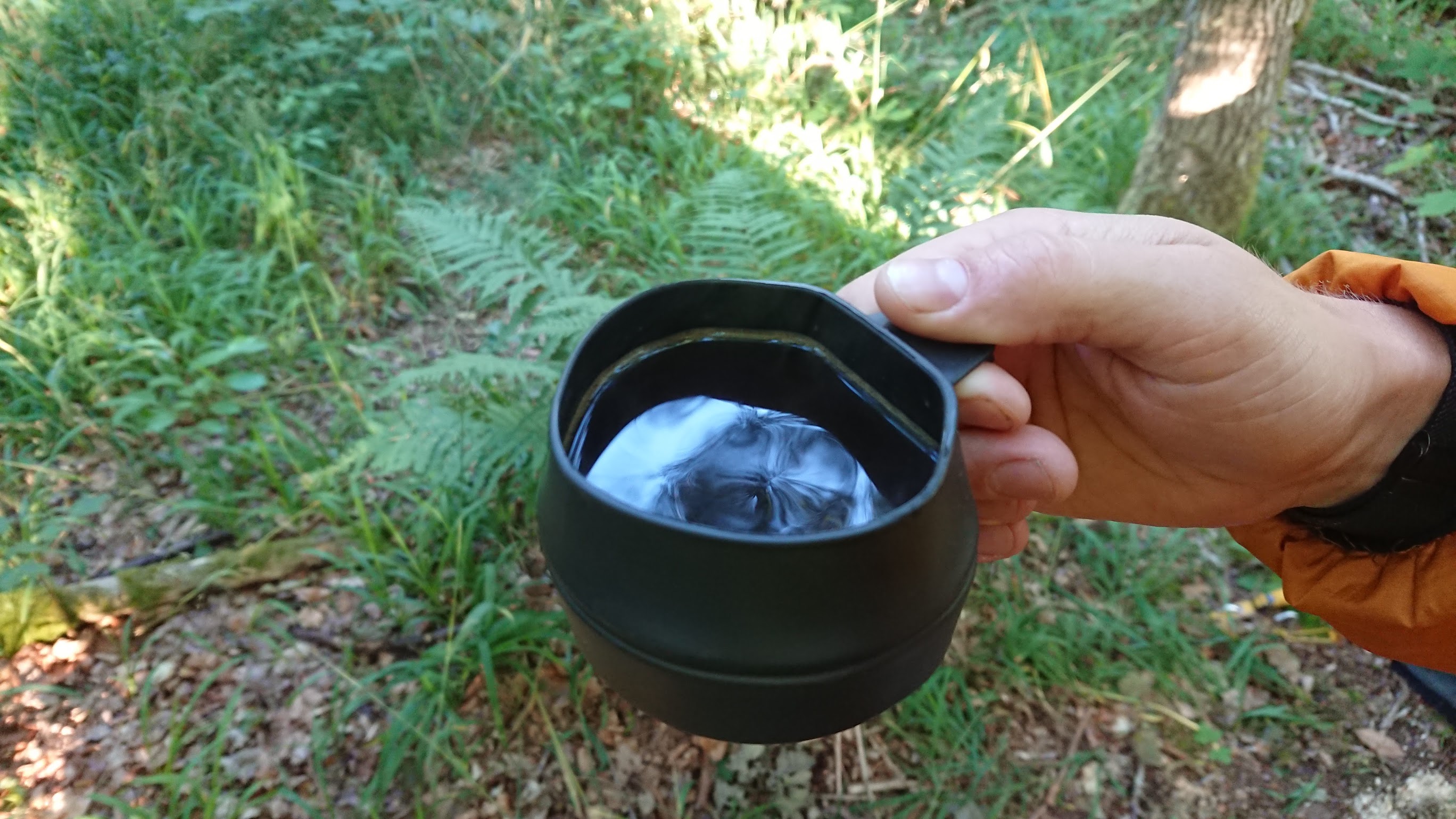
I knew right away there was no way I would be able to carry enough water for the whole trip, as I needed a minimum of 1.5 liters per day (and even more for cooking). I would simply have to find water sources as I went along.
For clothing, I choose to wear a pair of TNF trail runners, Fjellraven hiking pants, a t-shirt and a synthetic jacket. I also brought along a whole separate set of clothing to sleep in as there is nothing more refreshing than freeing yourself from your smelly hiking clothing when you reach your campsite. Leave it to dry out for the night so it is ready for the next day. Never mix the two.
I also had to sacrifice some precious space in the backpack for my camera equipment, which included spare batteries, microphones and different camera stands. That, among other things meant that I had to cut down on the one thing I knew I could replenish; water.
Getting to the starting location
Because of the corona epidemic, I had very limited options of transportation. Train was out of the question as there is no railroad going in that direction, and the buses which used to drive there no longer did, as a direct consequence of the corona epidemic. But luckily the public transportation had expanded their so called flex routes, meaning you could order a cheap taxi from the nearest bus station to your final destination.
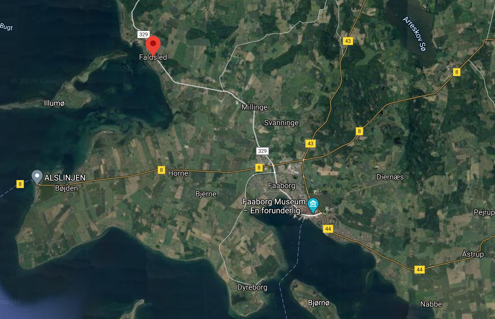
I took the bus to the city of Faaborg which was a 40 minute ride from Odense. From there I ordered a flex taxi to pick me up and drive me the remaining 7 km to the starting destination in Faldsled. The trail starts right next to the town church.
Part 1: Faldsled to Svanninge hills
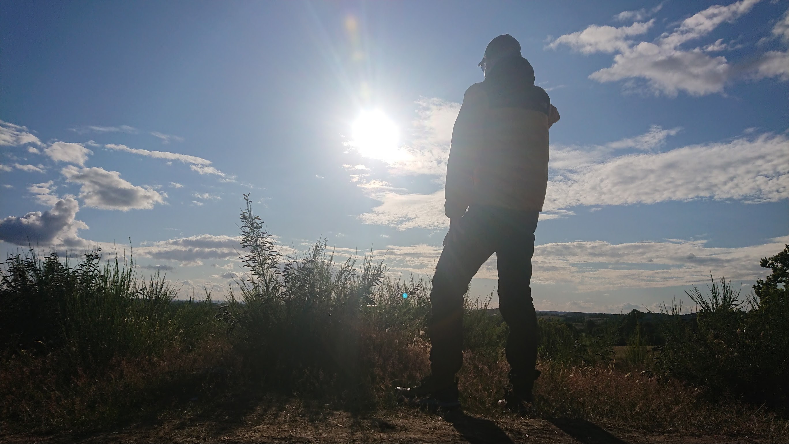
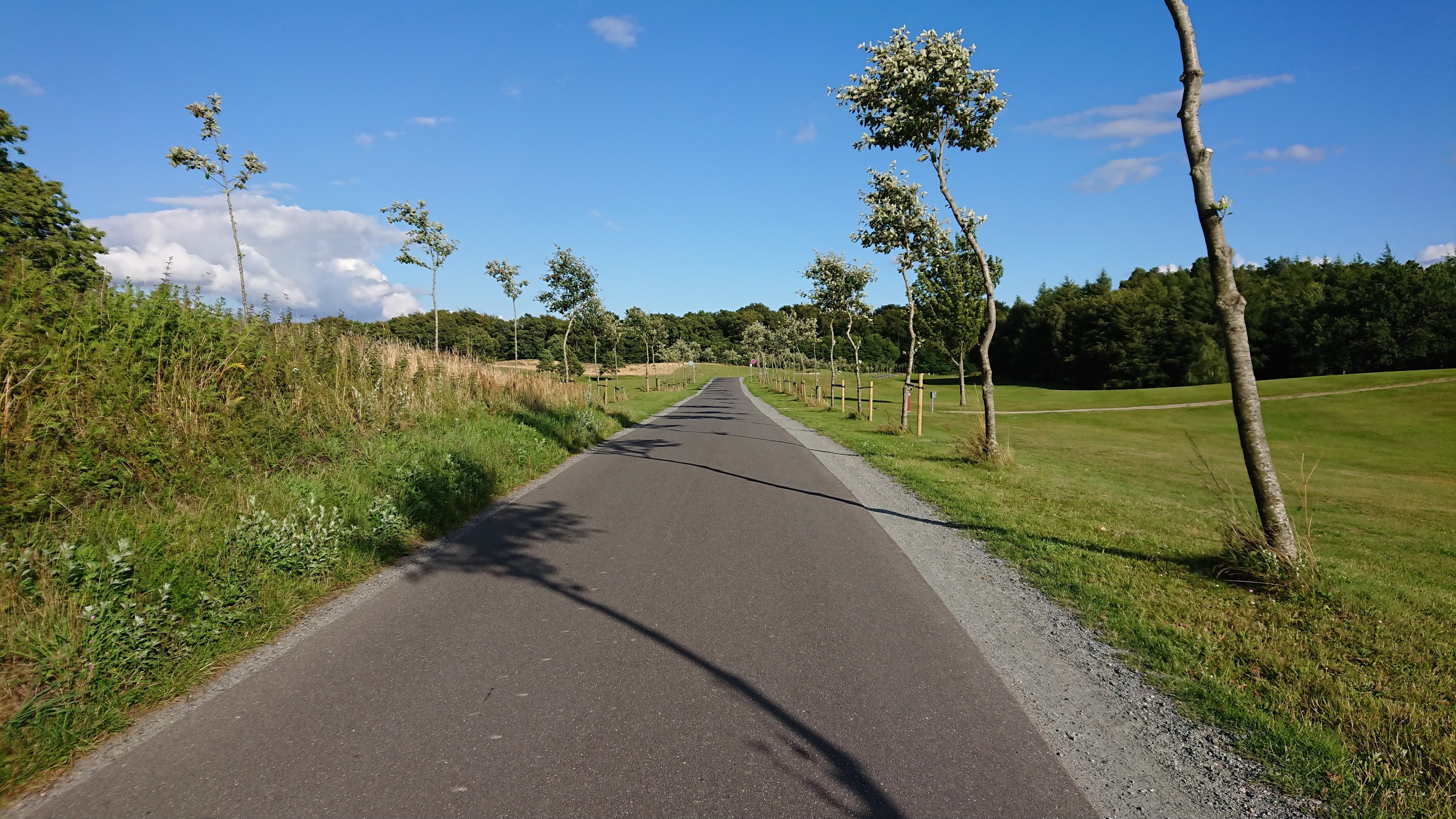
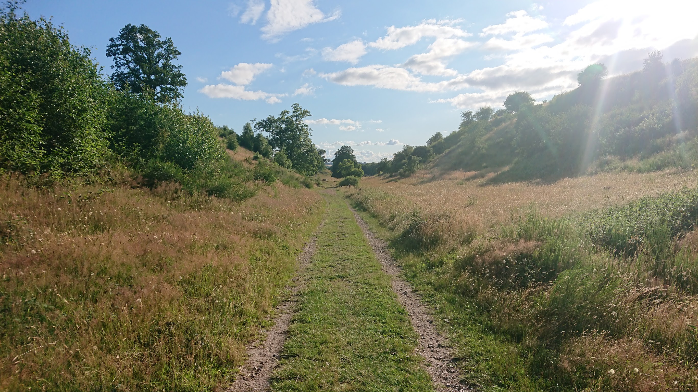
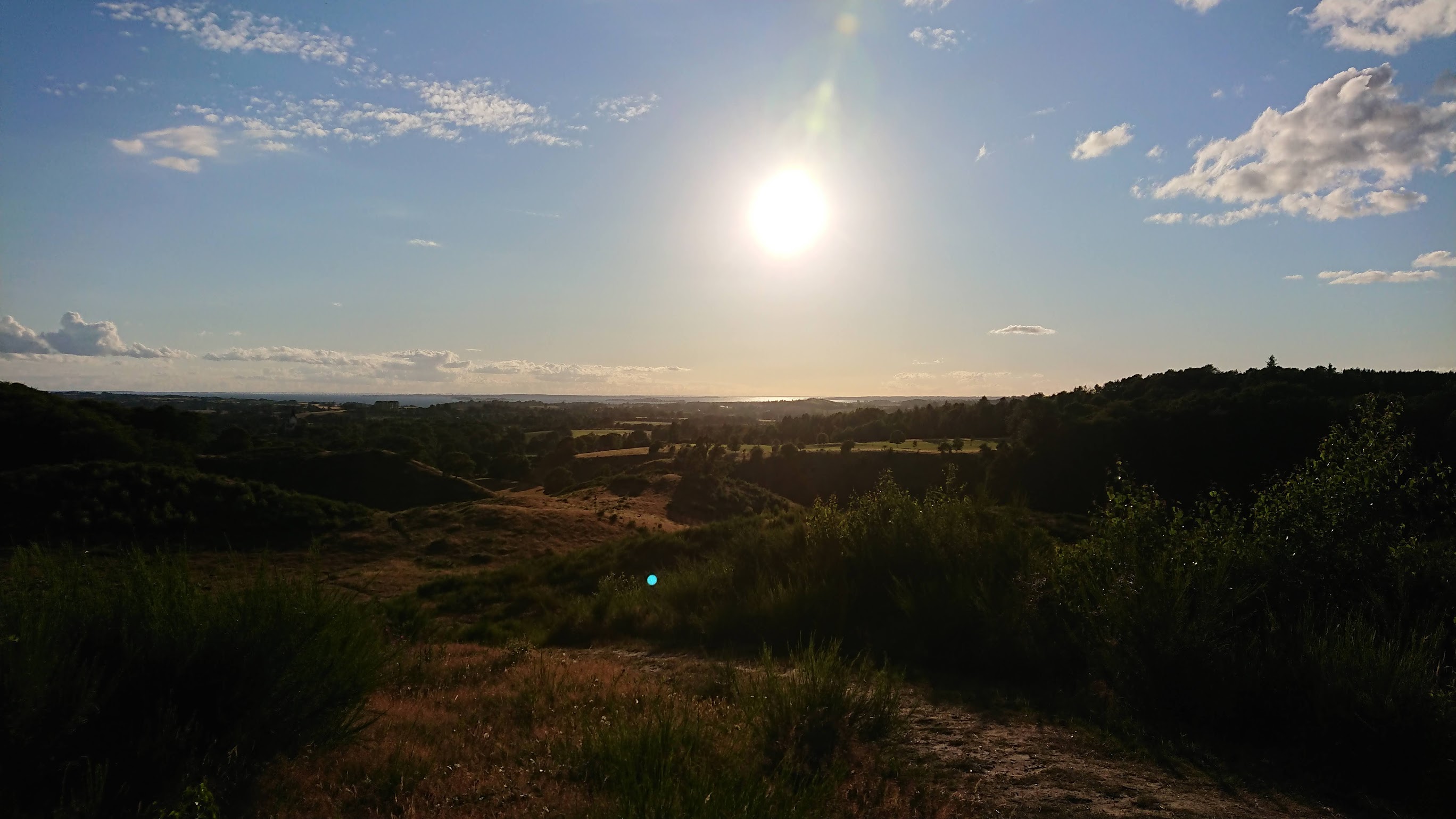
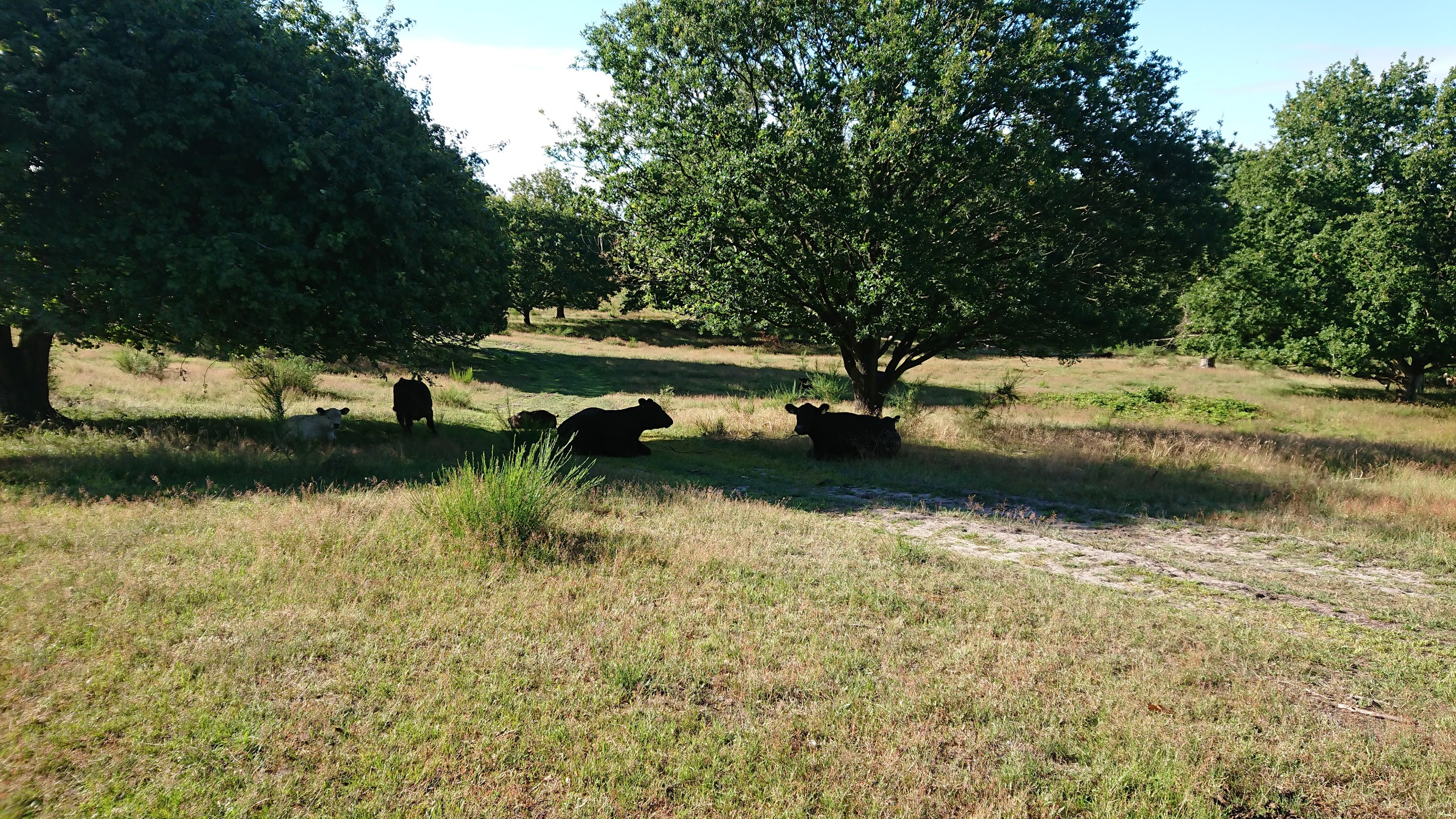
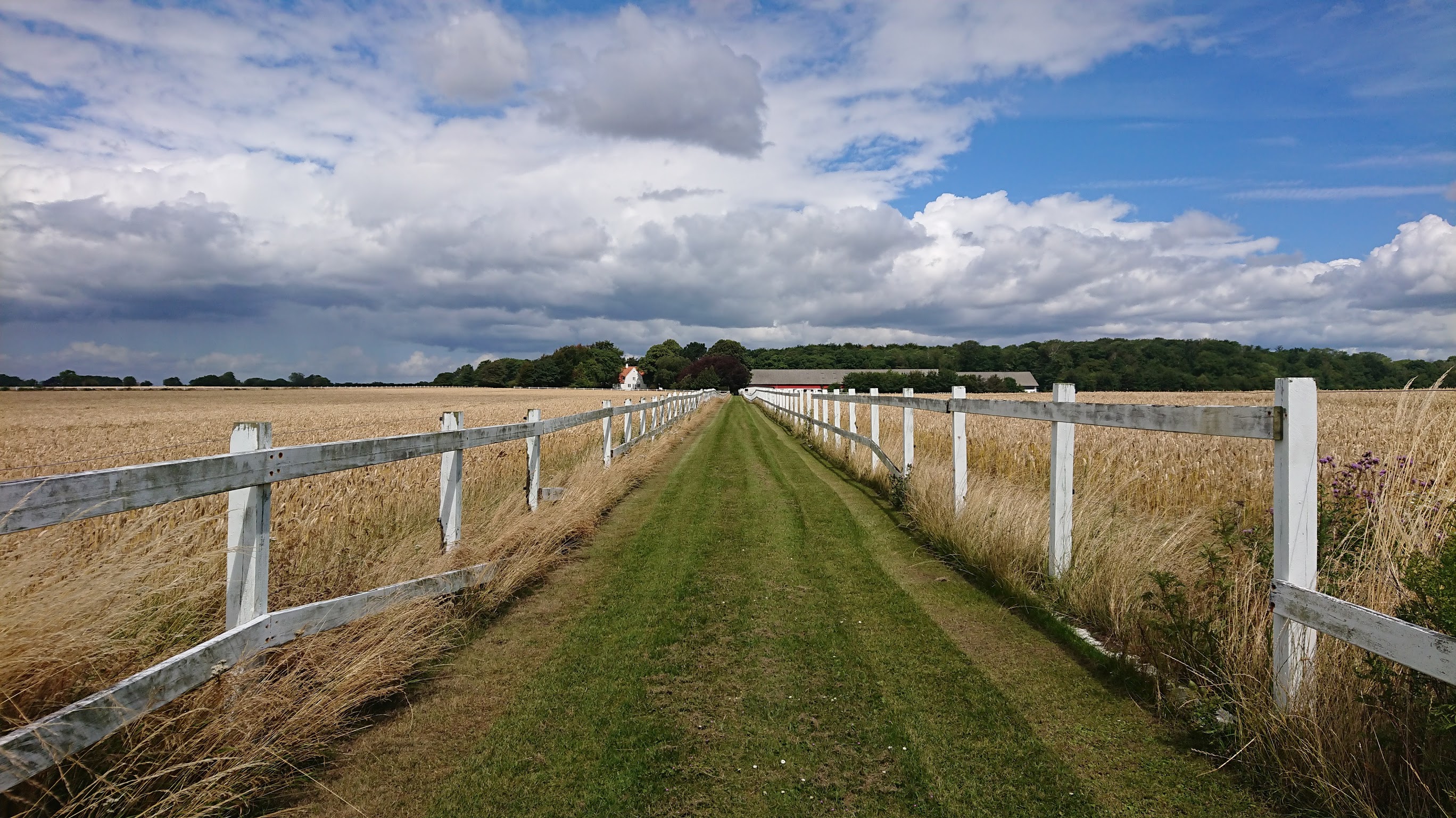
I was full of energy when I set out for the trail - and equally excited. The starting location of Faldsled is a small community town with a central church, not much else going on there. So don't expect a supermarket for last minute supplies, because it isn't there. Almost immidiatly after leaving Faldsled you end up in the beautiful country side and find yourself going through forests and along endless fields of crops. The main goal on the first day was to reach Svanninge Hills, an area that is well known for it's large hills and unique terrain. You are going to come close to a lot of animals whilst hiking the trail as I learned already on the first part of the trail. In fact, more than often the trail passes through grass fields with cows and other live stock.
I didn't know a whole lot about where I was going to camp, but I found that kind of exciting. It was also easier to just walk and see how far you make it and then deal with where to camp when the time comes. I reached Svanninge Hills in the evening and decided to settle down in the area - but first I had a few things to see. Number one was to reach a flag pole on top of a hill which had a great view of the hills (in fact, it was possible to see the ocean from there). Number two on the list was an even higher overlook tower, but this was to my disappointment closed because of the Covid-19 pandemic, so better luck next time!
And what about that replenishing water thing?
As I stated above, I didn't bring enough water for the entire trip, that would be impractical. But how did I go about finding drinkable water then? You need it for hygiene, drinking, cooking and various other purposes; it's a must have. Turns out it wasn't that difficult at all. Most people are more than pleased to help you out, simply ask them or knock on their doors. Most of them are even used to it because they live close to the trail and have had many visits from thirsty hikers. It actually came to my surprise just how many water outlets you come by just by walking the trail. Some are located there on purpose, while others are part of some sort of building such as horse stables or agriculture. I didn't even need the water filter that I brought along, so no need to worry about water for this trail.
Camping time (and the quest to find it)
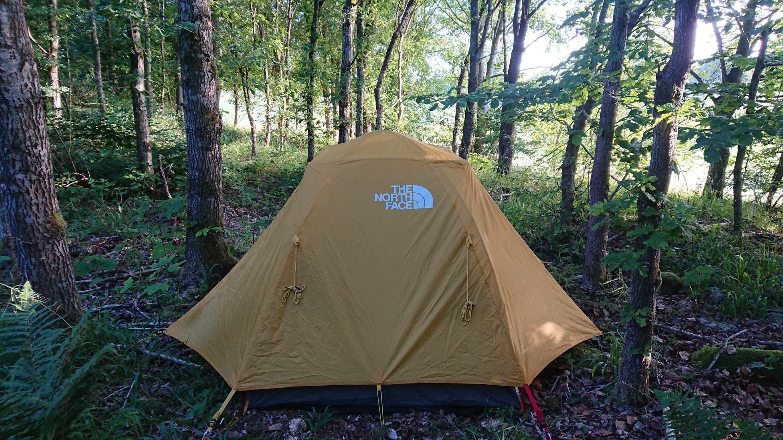
I found a nice place for a campsite in the outskirts of the forest surrounding Svanninge Hills, but it wasn't without a fight. It turned out to be quite the endeavour in fact. I had to back-track a little bit of the trail to get to a "tenting zone" which in all it's essence is a place where it's allowed to put up a tent. But when I got there it wasn't what I expected. There was no clearings or open areas to put up the tent, just a lot of dense forest. So I spent a while walking through the forest to find a suitable spot for a campsite, and after nearly 1 hour, I found one. It had just enough space for a tent and it wasn't too far from the trail either so I grabbed it!
After a good night of sleep, I woke up to the sound of birds, natures own alarm clock. I changed from my sleeping outfit and started the morning routine of heating up some water for breakfast and coffee. That first sip of morning coffee was amazing - things just taste better when you are out hiking, I can't explain it. Once I had awoken to a full state of readiness I started packing down camp and had one final look at the place that had been my campsite. I set out for the trail again and went right back into Svanninge Hills (I had to back-track, remember?) and headed out for the city of Svendborg.
Part 2: Svanninge hills to Svendborg
The road to Svendborg presented itself with a lot of new challenges and adventurous moments. I would pass a lot of cool places and buildings until I reached the small harbor town of Fjellebroen where I had a quick rest and then continue along the beach where I would come across a nostalgic place from my younger years. The path would then turn inland again and this time take you through a lot of cropland and open spaces.
Leaving Svanninge Hills I didn't expect to come across anymore hills, but it was to my surprise not over yet (this area is massive). So I got one last glimpse of the horizon and looked at the ocean where I would be heading. I also came across cows - and a whole lot of them. These guys walk and rest where ever they want, so at times I had to get a bit off trail not to interfere in their well-being.
A few hours later I reached the shore and the town of Fjellebroen where I had a quick rest as I explored the harbor and admired the view. It was a kind of milestone having reached the ocean, and I was looking forward to walk along the shoreline for the next few kilometers to come. It was also along this part of the trail where I found a place that is very nostalgic to me, a shelter site close to the water, where I was back in 2010 when I had just started on an outdoor boarding school. I brought back some of the memories of back then and how much I have changed since then. The shelter site is located not too far from the town of Fjellebroen and is to my knowlegde still bookable online. Moving inland again takes you into the heart of South Fuen farmlands with it's vast amount of crops, animals and small towns. Even though the shoreline had it's charms, It was good to be back on flat ground again. Svendborg was getting ever closer and I was confident that I would make it before dark.
The shelter site at Svendborg
After a couple of hours more of walking and dropping by an old friend's house (which just so happened to be on the trail), I reached the outskirts of Svendborg. I was thrilled, but exhausted. The pain my legs had to endure the last 2 hours before reaching the shelter I had booked, was unlike anything I had felt before. Your muscles will get sore after walking +40 kilometers with a loaded backpack on your back. But nevertheless, I made it to the shelter. To my surprise there was a shelter party there; a group of young people had booked the other shelter (there was 2 in total to book). I wasn't too fond of the idea of going to sleep in an open shelter next to a group of partying youngsters, so after having concluded they were not willing to turn it down or leave, I decided to head into the center of Svendborg where I bought a train ticket to go back to Odense and slept there for the weekend. Bad luck I guess but that's probably a one in a thousand situation I ran into that one evening.
On the bright side: I got home without too much of a hassle, slept well and returned to the trail that following Monday.
Part 3: Svendborg to Lundeborg
Upon making it back to Svendborg, I walked back to the exact spot on the trail where I left off before. I wanted to genuinely say I have walked the entire section of the trail. The first part of the trail starts out in the outskirts of Svendborg and soon you would find yourself entering the city. I used this moment to get some extra snacks for the remainder of the trail (including a beer) and had some food at a grill bar before I continued.
As I was leaving Svendborg it started raining a little, one of the fears of a hiker. It was the first rain I had encountered on the whole trail, but remarkably it remained that way, minor rain, so I wasn't in for the wet one this time. I managed to make it to about 20km before Lundeborg when I had to find a place to camp for the night, before it got too dark. I found a nice spot in a pine forest some 100m off the trail in some undesignated spot. It was still raining a minor amount at the time so finding a pine forest to take some of the rain was a treasure.
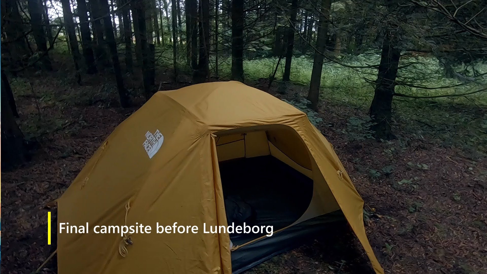
The path to Lundeborg
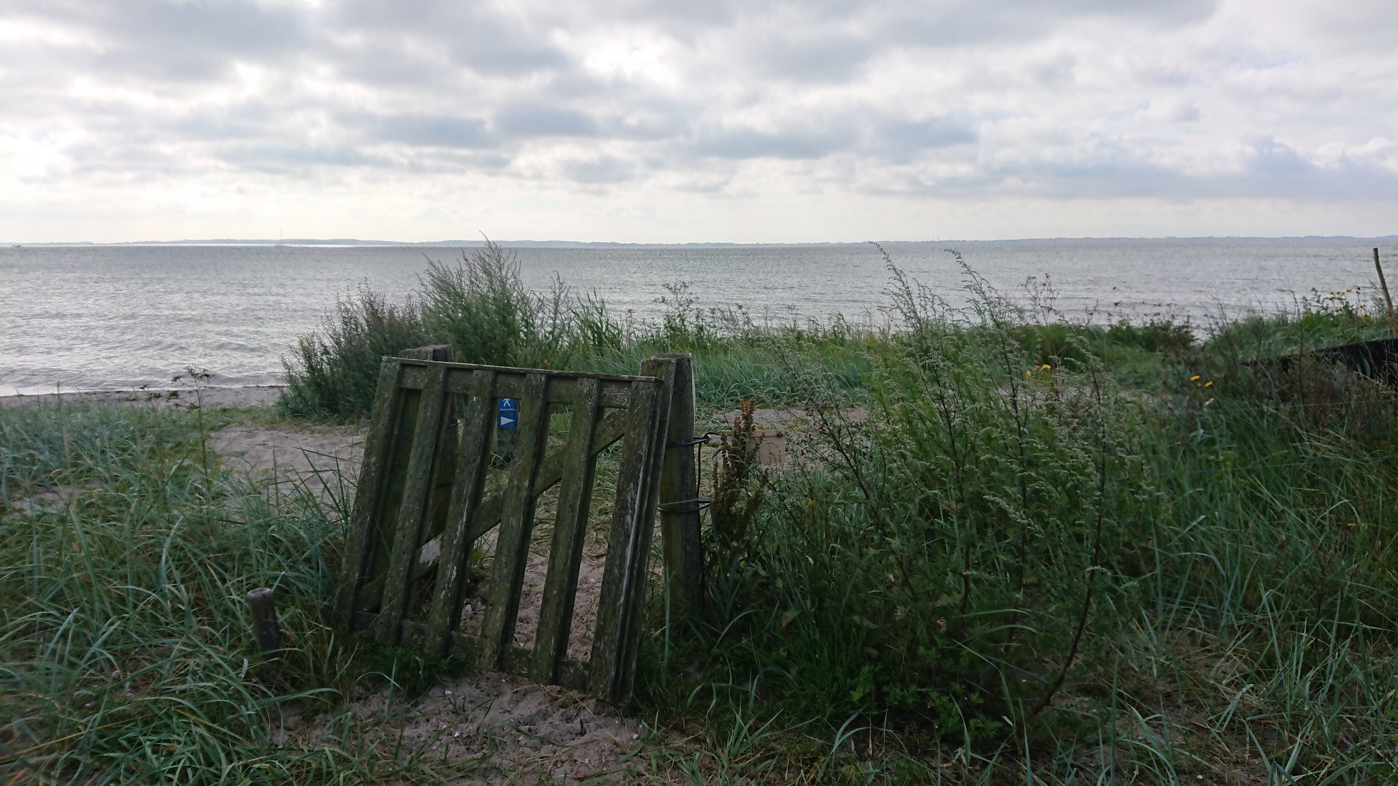
The next morning I woke up at 0600 (6 AM) in order to make it to Lundeborg before noon. I was well rested and full of ambition to make it to the end. The rain had ceased during the night and the morning sun stood high on the horizon as I walked into an open grass field, still damp from the nights rain and with the sun warming my face - it was a wondrous moment! I approached the shoreline at which Lundeborg is residing, walked through the final gate and there I saw it, the small town which marked the end of the trail with nothing but a mere few kilometers to go.
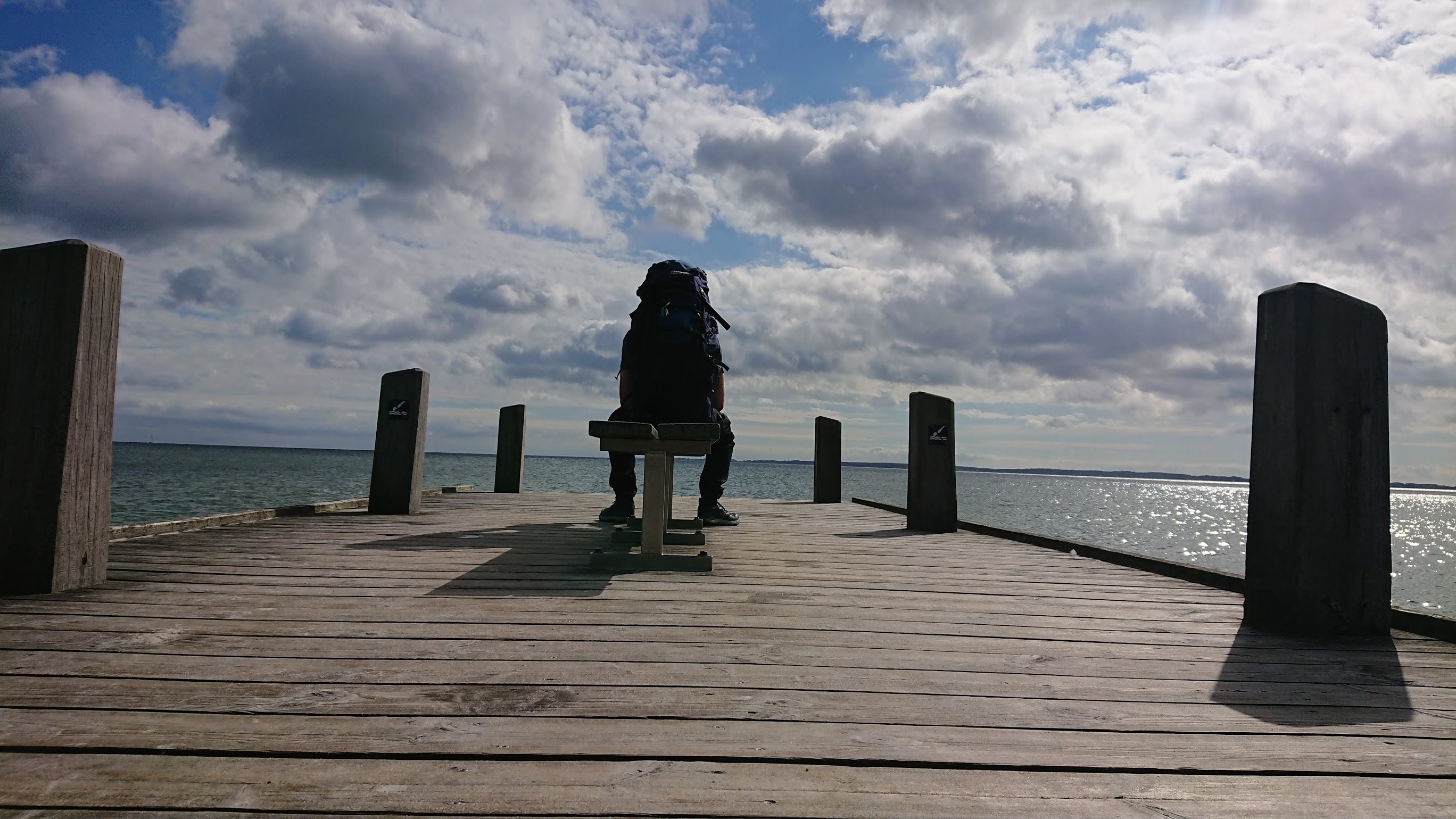
Arriving in Luneborg I was overwhelmed with relief and feelings. I found a bench on the beach and sat down for a long rest, admiring the view of the ocean. It was the milestone I had been looking forward to since I undertook the challenge of hiking the Southern Danish Appalachian trail. As I was looking out into the ocean I reflected back upon the whole trip and can only say it was a good decision. Even more fun was the fact that I didn't plan forward as much as I usually do. The idea of not knowing where you are going to end up or sleep is both intriguing and exciting.
Hiking the trail on Youtube!
You want to see more of the trail? Here is a bonus! A video of how my experience of hiking the trail was. I used the time out on the trail to shoot some content from the trip.
So long and happy hiking, who knows what trail lies ahead next time?